

© Slater4 Ltd and Avening Parish Council 2020
All about Avening
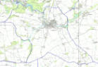
Avening Conservation Area
Avening is a large, busy
village whose character
has been profoundly
influenced by the
exceptionally attractive
valley in which it has
developed.
The village, which is typical of the Stroud
Valleys' "cloth settlements", has grown along
a complex network of roads and lanes that
radiate outwards from the valley floor to climb
the surrounding hillsides.
The conservation area comprises the two
older parts of Avening, including the
landscape setting of certain parts of the
village.
Click here to see the 2000 Conservation
Statement

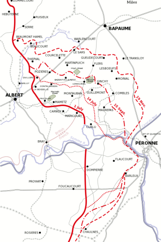
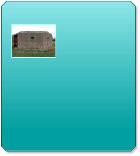
Avening Defence Line Survey 2012
An HER project focusing
on a section of the GHQ
Line Green defence
around Avening, including
the tank ditch and ‘pill
boxes’. The GHQ lines
were static linear defences constructed under
General Ironside in preparation for the
expected German invasion. These lines were
constructed in June 1940 but by the beginning
of 1941 they were no longer regarded as being
of value and large lengths fell into disuse.
Written by Emma Slater MA.
Click here to see the HER report


Holy Cross Church - Standing
Report 2012
This Standing Building
Report was produced for
the main assessments of
the Standing Building until
as part of the Landscape
Archaeology Masters at Bristol University. This
report presents the results of a detailed survey
of the 12th Century Holy Cross church,
Avening. It is elaborating on a previous study
of the Church which was produced in 2008 by
Emma Slater MA. Sections of this report are
currently being used on the Holy Cross
website.
Click here to see the report

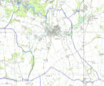
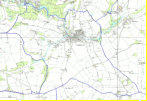
Parish Boundary maps
Current and historic maps
showing the Avening
Parish boundary.
(C) All rights reserved
Click here to see the Parish boundary map
Click here to see a historic boundary map

Housing needs survey
Avening Parish Council
commissioned a housing
needs survey in December
2013 to inform the Parish
Plan, and potential housing
applications
Click here to see the housing needs survey


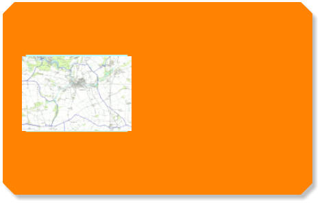
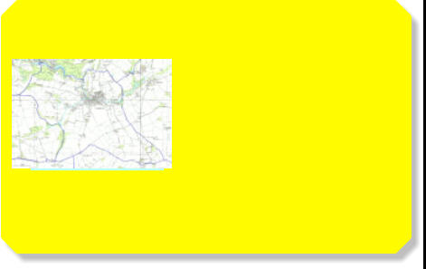
Post code map of Avening
If you need to find your way
around the village, this
handy post code map will
help.
Click here to view the post code map

Listed buildings
There are currently 55
buildings and monuments
listed in Avening, with the
Holy Cross church being
the only Grade 1 listing.
View the list and map of listed buildings in
Avening:
Click here to see the map view
Click here for the wider parish map view
Click here to see the list view


All about Avening

Avening Conservation Area
Avening is a large, busy
village whose character
has been profoundly
influenced by the
exceptionally attractive
valley in which it has
developed.
The village, which is typical of the Stroud
Valleys' "cloth settlements", has grown along
a complex network of roads and lanes that
radiate outwards from the valley floor to climb
the surrounding hillsides.
The conservation area comprises the two
older parts of Avening, including the
landscape setting of certain parts of the
village.
Click here to see the 2000 Conservation
Statement
Avening Defence Line Survey 2012
An HER project focusing
on a section of the GHQ
Line Green defence around
Avening, including the
tank ditch and ‘pill boxes’.
The GHQ lines were static
linear defences constructed under General
Ironside in preparation for the expected
German invasion. These lines were
constructed in June 1940 but by the beginning
of 1941 they were no longer regarded as being
of value and large lengths fell into disuse.
Written by Emma Slater MA.
Click here to see the HER report

Holy Cross Church - Standing
Report 2012
This Standing Building
Report was produced for
the main assessments of
the Standing Building until
as part of the Landscape
Archaeology Masters at Bristol University. This
report presents the results of a detailed survey
of the 12th Century Holy Cross church,
Avening. It is elaborating on a previous study
of the Church which was produced in 2008 by
Emma Slater MA. Sections of this report are
currently being used on the Holy Cross
website.
Click here to see the report

Parish Boundary maps
Current and historic maps
showing the Avening Parish
boundary.
(C) All rights reserved
Click here to see the Parish boundary map
Click here to see a historic boundary map
Housing needs survey
Avening Parish Council
commissioned a housing
needs survey in December
2013 to inform the Parish
Plan, and potential housing
applications
Click here to see the housing needs survey


Post code map of Avening
If you need to find your way
around the village, this
handy post code map will
help.
Click here to view the post code map
All about Avening

Listed buildings
There are currently 55
buildings and monuments
listed in Avening, with the
Holy Cross church being
the only Grade 1 listing.
View the list and map of listed buildings in
Avening:
Click here to see the map view
Click here for the wider parish map view
Click here to see the list view